« Modèle:Infobox Canton d'Oosterland » : différence entre les versions
Aucun résumé des modifications |
Aucun résumé des modifications |
||
| Ligne 35 : | Ligne 35 : | ||
| <font color=#000000>'''Population'''</font color> || align="left" | 561 340 hab. | | <font color=#000000>'''Population'''</font color> || align="left" | 561 340 hab. | ||
|- | |- | ||
| <font color=#000000>'''Densité'''</font color> || align="left" | 27. | | <font color=#000000>'''Densité'''</font color> || align="left" | 27.5 hab./km² | ||
|- | |- | ||
| <font color=#000000>'''Gentilé'''</font color> || align="left" | Oostlandais, Oostlandaise | | <font color=#000000>'''Gentilé'''</font color> || align="left" | Oostlandais, Oostlandaise | ||
Version du 22 novembre 2013 à 18:39
| République et canton d'Oosterland | |
|---|---|
| Republiek en Kanton Oosterland (nl) Republic and Canton of Westland (en) | |
 
| |
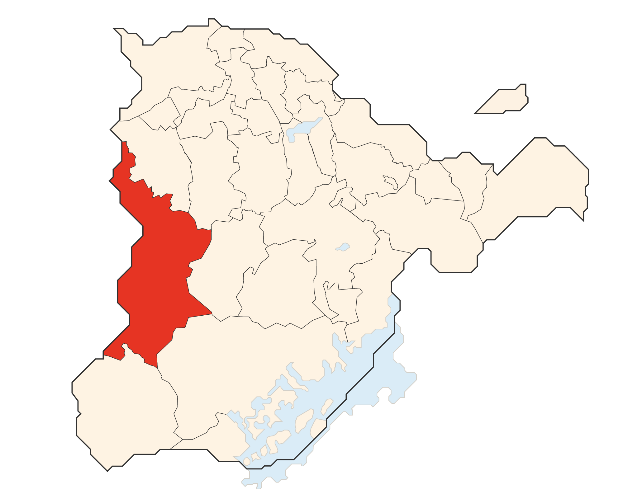
| Drapeau Localisation | |
| Administration | |
| Etat | |
| Abréviation | OS |
| Langues officielles | Néerlandais Anglais |
| Capitale | Kasteelheer |
| Districts | ?? |
| Communes | 75 |
| Exécutif | ?? |
| Législatif | ?? |
| Conseil national | 13 sièges |
| Conseil des cantons | 2 sièges |
| Démographie | |
| Population | 561 340 hab. |
| Densité | 27.5 hab./km² |
| Gentilé | Oostlandais, Oostlandaise |
| Rang | ?? |
| Géographie | |
| Superficie | 20 399 km² |
| Rang | ?? |
