« Aéroport de Diamentide » : différence entre les versions
mAucun résumé des modifications |
mAucun résumé des modifications |
||
| (2 versions intermédiaires par le même utilisateur non affichées) | |||
| Ligne 2 : | Ligne 2 : | ||
|+ '''[[Aéroports de Simland]]''' | |+ '''[[Aéroports de Simland]]''' | ||
|- | |- | ||
! colspan="2" align="center" valign="middle" height="40" style="font-weight: bold; font-size: 1em; background:#0e89b5; color: #ffffff" | <font size="4"> | ! colspan="2" align="center" valign="middle" height="40" style="font-weight: bold; font-size: 1em; background:#0e89b5; color: #ffffff" | <font size="4">Aéroport international<br> de Ckrystahal - Diamentide</font size><br>Ckrystahal - Diamentide International Airport | ||
|- | |- | ||
| colspan="2" align="center" | [[Image:. | | colspan="2" align="center" | [[Image:Logo_Aeroports_Diamentide.png|300px]] | ||
|- | |- | ||
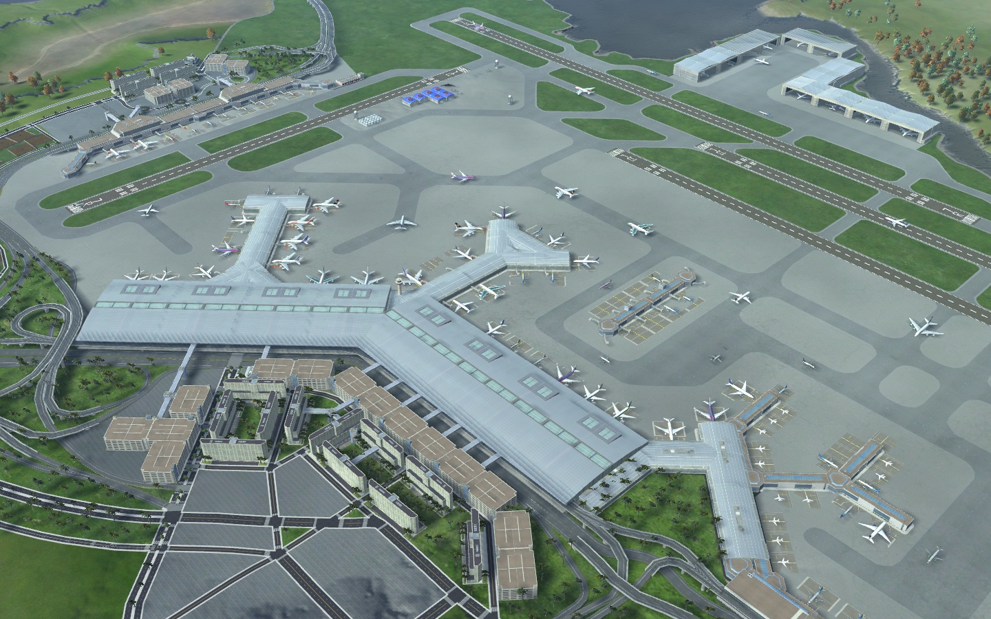
| colspan="2" align="center" | [[Image:Aeroport Diamentide XL.jpg| | | colspan="2" align="center" | [[Image:Aeroport Diamentide XL.jpg|300px]] | ||
|- | |- | ||
! colspan="2" align="center" valign="middle" height="20" ; font-size: 1em; background: #ffffff; color: #000000"| Code [[AITA]] <br> '''ADD''' | ! colspan="2" align="center" valign="middle" height="20" ; font-size: 1em; background: #ffffff; color: #000000"| Code [[AITA]] <br> '''ADD''' | ||
| Ligne 61 : | Ligne 61 : | ||
<br> | <br> | ||
---- | ---- | ||
=Archives= | |||
[[Aéroport de Diamentide (ancien article)]] | |||
[[Catégorie: Ckrystahal]] | [[Catégorie: Ckrystahal]] | ||
| Ligne 66 : | Ligne 68 : | ||
[[Catégorie:Transports]] | [[Catégorie:Transports]] | ||
[[Catégorie:Transports Méridionaux]] | [[Catégorie:Transports Méridionaux]] | ||
[[Catégorie:Portails/Méridionie/Articles liés]] | |||
Dernière version du 22 novembre 2015 à 02:32
| Aéroport international de Ckrystahal - Diamentide Ckrystahal - Diamentide International Airport | |
|---|---|

| |

| |
| Code AITA ADD | |
| Localisation | |
| Pays | Simland |
| État | Méridionie |
| Ville | Ckrystahal |
| Superficie | 4 238 ha |
| Altitude | 91 m (298 ft) |
 Localisation de l'aéroport de Denplatine (©Cartographie Nationale) | |
| Pistes | |
| Direction | Longueur |
| ... | ... m (... ft) |
| ... | ... m (... ft) |
| Informations aéronautiques | |
| Code AITA | ADE |
| Code OACI | IMDD |
| Code DACS | MD.AO.C1 |
| Nom cartographique | Ckrystahal-Diamentide |
| Type d'aéroport | Civil |
| Gestionnaire | Aéroports de Ckrystahal |
| Statistiques 2015 | |
| Passagers | ... |
| Mouvements aériens | ... |
| Cargo (tonnes métriques) | ... |
| Impact économique | ... millions § |
