« Réseau routier national » : différence entre les versions
Aucun résumé des modifications |
|||
| Ligne 29 : | Ligne 29 : | ||
! scope="col" | [[Fichier:n4.jpg|70px]] | ! scope="col" | [[Fichier:n4.jpg|70px]] | ||
! scope="row" style="font-weight: bold;" | [[Route Nationale N4|N4]] | ! scope="row" style="font-weight: bold;" | [[Route Nationale N4|N4]] | ||
! scope="col" | | ! scope="col" | Ouest - Est | ||
| | | | ||
| | | Frontière Russe - New Amsterdam | ||
|align="center"| | |align="center"| 1700km | ||
|- | |- | ||
! scope="col" | [[Fichier:n5.jpg|70px]] | ! scope="col" | [[Fichier:n5.jpg|70px]] | ||
! scope="row" style="font-weight: bold;" | [[Route Nationale N5|N5]] | ! scope="row" style="font-weight: bold;" | [[Route Nationale N5|N5]] | ||
! scope="col" | | ! scope="col" | Est - Ouest | ||
| | | | ||
| | | Arcandias - Hopecity | ||
|align="center"| | |align="center"| 750km | ||
|- | |- | ||
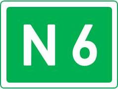
! scope="col" | [[Fichier:n6.jpg|70px]] | ! scope="col" | [[Fichier:n6.jpg|70px]] | ||
! scope="row" style="font-weight: bold;" | [[Route Nationale N6|N6]] | ! scope="row" style="font-weight: bold;" | [[Route Nationale N6|N6]] | ||
! scope="col" | | ! scope="col" | Ouest - Sud Est | ||
| | | | ||
| | | Arnac la vielle - Quatre Vingt | ||
|align="center"| | |align="center"| 850km | ||
|- | |- | ||
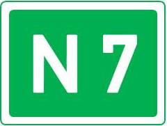
! scope="col" | [[Fichier:n7.jpg|70px]] | ! scope="col" | [[Fichier:n7.jpg|70px]] | ||
! scope="row" style="font-weight: bold;" | [[Route Nationale N7|N7]] | ! scope="row" style="font-weight: bold;" | [[Route Nationale N7|N7]] | ||
! scope="col" | | ! scope="col" | Nord - Sud | ||
| | | | ||
| | | Ijsdale - Saint Louis sur Avalon | ||
|align="center"| | |align="center"| 800km | ||
|- | |- | ||
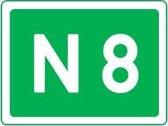
! scope="col" | [[Fichier:n8.jpg|70px]] | ! scope="col" | [[Fichier:n8.jpg|70px]] | ||
! scope="row" style="font-weight: bold;" | [[Route Nationale N8|N8]] | ! scope="row" style="font-weight: bold;" | [[Route Nationale N8|N8]] | ||
! scope="col" | | ! scope="col" | Nord - Sud | ||
| | | | ||
| | | Arcandias - Sonoma | ||
|align="center"| | |align="center"| 600km | ||
|- | |- | ||
! scope="col" | [[Fichier:n9.jpg|70px]] | ! scope="col" | [[Fichier:n9.jpg|70px]] | ||
! scope="row" style="font-weight: bold;" | [[Route Nationale N9|N9]] | ! scope="row" style="font-weight: bold;" | [[Route Nationale N9|N9]] | ||
! scope="col" | | ! scope="col" | Est - Ouest | ||
| | | | ||
| | | Hopecity - Chateau Bonnot | ||
|align="center"| | |align="center"| 950km | ||
|- | |- | ||
! scope="col" | [[Fichier:n10.jpg|70px]] | ! scope="col" | [[Fichier:n10.jpg|70px]] | ||
! scope="row" style="font-weight: bold;" | [[Route Nationale N10|N10]] | ! scope="row" style="font-weight: bold;" | [[Route Nationale N10|N10]] | ||
! scope="col" | | ! scope="col" | Est - Ouest | ||
| | | | ||
| | | Mercentille - Heiwashima Shi | ||
|align="center"| | |align="center"| 50km | ||
|- | |- | ||
! scope="col" | [[Fichier:n20.jpg|70px]] | ! scope="col" | [[Fichier:n20.jpg|70px]] | ||
! scope="row" style="font-weight: bold;" | [[Route Nationale N20|N20]] | ! scope="row" style="font-weight: bold;" | [[Route Nationale N20|N20]] | ||
! scope="col" | | ! scope="col" | Nord - Sud | ||
| | | | ||
| | | Kalos - Frontière Russe | ||
|align="center"| | |align="center"| 680km | ||
|- | |- | ||
! scope="col" | [[Fichier:n21.jpg|70px]] | ! scope="col" | [[Fichier:n21.jpg|70px]] | ||
! scope="row" style="font-weight: bold;" | [[Route Nationale N21|N21]] | ! scope="row" style="font-weight: bold;" | [[Route Nationale N21|N21]] | ||
! scope="col" | | ! scope="col" | Nord - Sud | ||
| | | | ||
| | | Westfield - Tarbonne | ||
|align="center"| | |align="center"| 200km | ||
|- | |- | ||
! scope="col" | [[Fichier:n22.jpg|70px]] | ! scope="col" | [[Fichier:n22.jpg|70px]] | ||
! scope="row" style="font-weight: bold;" | [[Route Nationale N22|N22]] | ! scope="row" style="font-weight: bold;" | [[Route Nationale N22|N22]] | ||
! scope="col" | | ! scope="col" | Est - Ouest | ||
| | | | ||
| | | Assuria - Safrana | ||
|align="center"| | |align="center"| 550km | ||
|- | |- | ||
! scope="col" | [[Fichier:n23.jpg|70px]] | ! scope="col" | [[Fichier:n23.jpg|70px]] | ||
Version du 12 mai 2012 à 18:41
Tableau des routes nationales
'Routes nationales
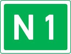
|
N1 | Nord - Sud | Oldenburg - Sun City | 3000km | |
|---|---|---|---|---|---|
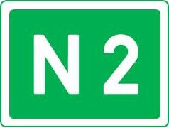
|
N2 | Ouest - Sud | Tulskadvar - Sun City | 2700km | |

|
N3 | Nord - Sud | Oldenburg - Cap Ten | 3500km | |
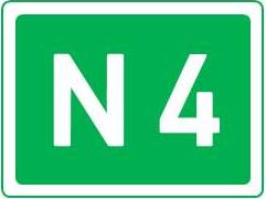
|
N4 | Ouest - Est | Frontière Russe - New Amsterdam | 1700km | |
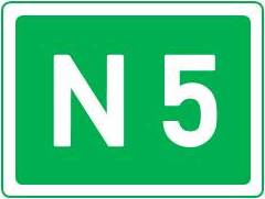
|
N5 | Est - Ouest | Arcandias - Hopecity | 750km | |
|
N6 | Ouest - Sud Est | Arnac la vielle - Quatre Vingt | 850km | |
|
N7 | Nord - Sud | Ijsdale - Saint Louis sur Avalon | 800km | |
|
N8 | Nord - Sud | Arcandias - Sonoma | 600km | |

|
N9 | Est - Ouest | Hopecity - Chateau Bonnot | 950km | |
| N10 | Est - Ouest | Mercentille - Heiwashima Shi | 50km | ||
| N20 | Nord - Sud | Kalos - Frontière Russe | 680km | ||
| N21 | Nord - Sud | Westfield - Tarbonne | 200km | ||
| N22 | Est - Ouest | Assuria - Safrana | 550km | ||
| N23 | |||||
| N24 | |||||
| N26 | |||||
| N27 | |||||
| N30 | |||||
| N31 | |||||
| N32 | |||||
| N33 | |||||
| N34 | |||||
| N35 | |||||
| N36 | |||||
| N37 |
