« New Retropolis » : différence entre les versions
Aucun résumé des modifications |
Aucun résumé des modifications |
||
| Ligne 5 : | Ligne 5 : | ||
}} | }} | ||
{| class="toccolours" width="285" style="float:right;margin: 0em 0em 0em 1em;" | |||
|- | |||
! colspan="2" align="center" valign="middle" height="40" style="font-weight: bold; font-size: 1em; background: #ddffdd; color: #000000" | <font size="3.5">'''New Retropolis''' | |||
|- | |||
| colspan="2" align="center" |[[Image:New-Retropolis-logo.png|90px]] | |||
|- | |||
| colspan="2" align="center" | <font size="1">Logo | |||
|- | |||
! colspan="2" align="center" valign="middle" height="12" style="font-weight: bold; font-size: 1em; background: #ddffdd; color: #000000" | <font size="2">'''Administration''' | |||
|- | |||
| '''[[État]]''' || align="left" | [[Image:Drapeauhudson.jpg|20px]] [[Hudson-Rétanie]] | |||
|- | |||
| '''[[Canton hudsonois|Canton]]''' || align="left" | [[Canton de Thielle]] | |||
|- | |||
| '''[[Président]]''' || align="left" | [[Zaraza]] | |||
|- | |||
| '''NPA''' || align="left" | ?? | |||
|- | |||
! colspan="2" align="center" valign="middle" height="20" style="font-weight: bold; font-size: 1em; background: #ddffdd; color: #000000" | <font size="2">'''Démographie''' | |||
|- | |||
| '''Gentilé''' || align="left" | Rétropolitain(es) | |||
|- | |||
| '''Population''' || align="left" | 5 329 837 hab. <font size="1">(2009) | |||
|- | |||
| '''Densité''' || align="left" | 5 341 hab./km² | |||
|- | |||
! colspan="2" align="center" valign="middle" height="20" style="font-weight: bold; font-size: 1em; background: #ddffdd; color: #000000" | <font size="2">'''Géographie''' | |||
|- | |||
| '''Altitude''' || align="left" | 109 m | |||
|- | |||
| '''Superficie''' || align="left" | 99 800 ha = 998 km² | |||
|- | |||
! colspan="2" align="center" valign="middle" height="20" style="font-weight: bold; font-size: 1em; background: #ddffdd; color: #000000" | <font size="2">'''Divers'''</font size> | |||
|- | |||
| '''Langue'''|| align="left" | Français | |||
|- | |||
! colspan="2" align="center" valign="middle" height="20" style="font-weight: bold; font-size: 1em; background: #ddffdd; color: #000000" | <font size="2">'''Localisation'''</font size> | |||
|- | |||
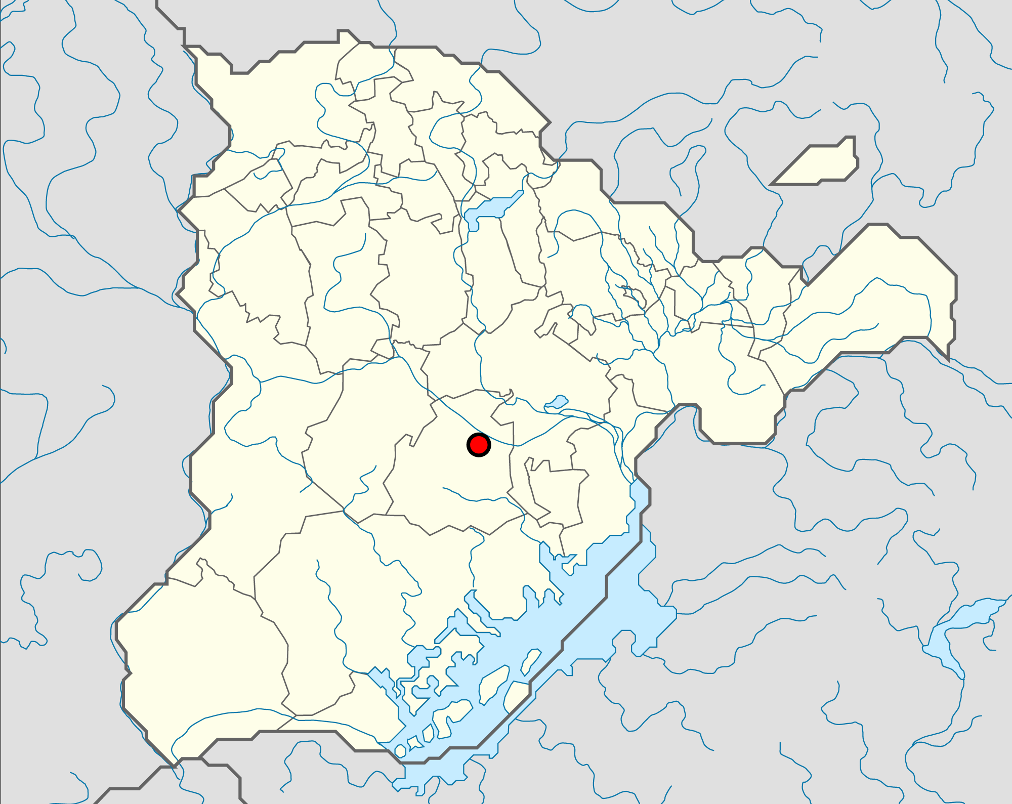
| colspan="2" align="center" | <font size="1">Localisation de New Retropolis sur la carte | |||
|- | |||
! colspan="2" align="center" |[[Image:Localisation-New-Retropolis.png|285px]] | |||
|- | |||
! colspan="2" align="center" valign="middle" height="20" style="font-weight: bold; font-size: 1em; background: #ddffdd; color: #000000" | <font size="2">'''Liens'''</font size> | |||
|- | |||
| colspan="2" align="center" | [http://www.simland.eu/forum/hudson/new-retropolis-ville-qui-marque-simland-t2340.html Sujet de la ville] | |||
|} | |||
{{Ancienne ville de Simland| | {{Ancienne ville de Simland| | ||
Version du 2 octobre 2013 à 09:10
| Ville Historique |
|---|
| New Retropolis | |
|---|---|

| |
| Logo | |
| Administration | |
| État | |
| Canton | Canton de Thielle |
| Président | Zaraza |
| NPA | ?? |
| Démographie | |
| Gentilé | Rétropolitain(es) |
| Population | 5 329 837 hab. (2009) |
| Densité | 5 341 hab./km² |
| Géographie | |
| Altitude | 109 m |
| Superficie | 99 800 ha = 998 km² |
| Divers | |
| Langue | Français |
| Localisation | |
| Localisation de New Retropolis sur la carte | |
| |
| Liens | |
| Sujet de la ville | |
| [[Image:..|250px]] | |
| New Retropolis | |
|---|---|
| Période d'activité | De 2004 à avril 2009 |
| Surnom | ... |
| Pays | Simland |
| Etat | Uluru |
| Maire | Zaraza |
| Population | 5 329 837 hab. |
| Altitude | ... |
| Topic de la ville | |
| |
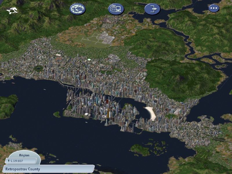
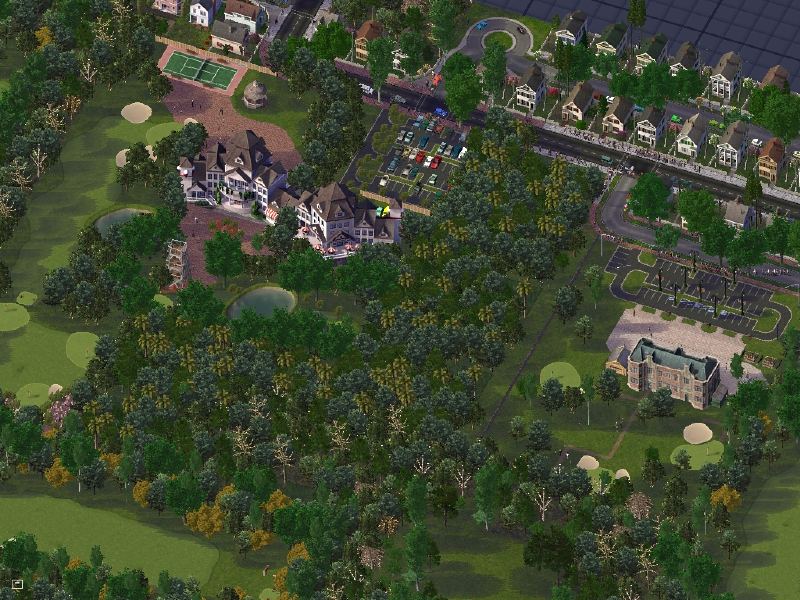
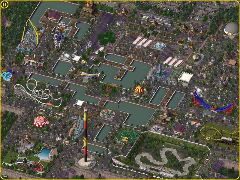
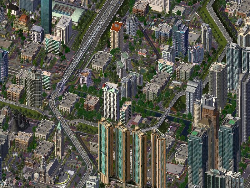
New Retropolis est une ancienne ville de l'Uluru, son maire était Zaraza. Elle a marquée Simland. En mai 2012, soit 2 ans après sa fin, elle fut nommée par A. Gates (Ministre de l'Amour) et Georgeshub (Commissaire à la Reconnaissance) ville historique.
| Villes d'Hudson-Rétanie | |
|---|---|
| Balronde · Colomb City · Gimini · Kasteelheer · Keegan · Kendle · New Columbia · New Retropolis · Norwood · Ny Falun | |
